Stay informed and prepared with Simple Satellite Weather Loops, a user-friendly app providing real-time weather data from NASA's GOES satellite. View infrared, visible, and water vapor loops updated every 10-15 minutes, allowing you to track weather systems like fronts, storms, and hurricanes effectively. The app's automatic updates ensure you always have the most current information, complete with clear UTC timestamps.
Key Features of Simple Satellite Weather Loops:
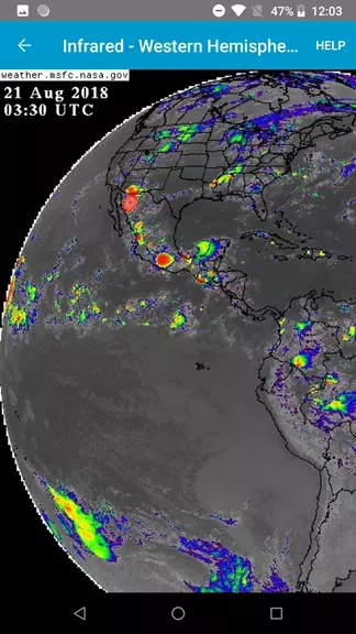
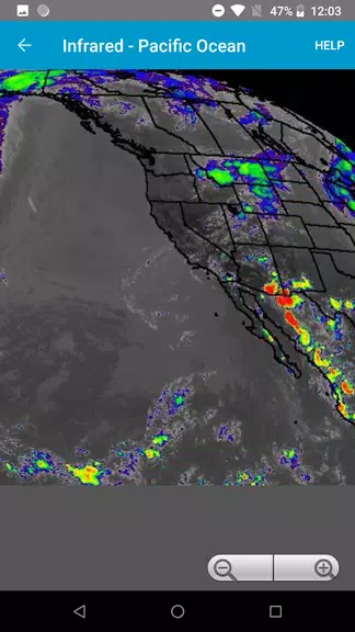
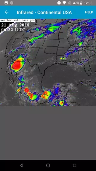
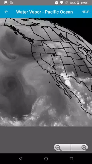
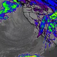
- Real-time Satellite Imagery: Access the latest infrared, visible, and water vapor imagery from the NASA GOES satellite for precise, up-to-the-minute weather information.
- Proactive Weather Monitoring: Identify approaching weather fronts, tropical storms, and hurricanes well in advance, providing ample time for preparation.
- Frequent Updates: New data is seamlessly integrated into the loops every 10-15 minutes, ensuring your weather information remains current and accurate.
User Tips:
- Personalized Viewing: Adjust loop settings to suit your preferences, switching between infrared, visible, and water vapor views for comprehensive weather analysis.
- Detailed Zoom: Utilize the zoom function to examine specific weather patterns or areas of interest with greater clarity.
- Location Management: Save your preferred locations for quick access to localized weather updates.
In Conclusion:
Simple Satellite Weather Loops offers a powerful combination of real-time data, early warning capabilities, and frequent updates, making it an indispensable tool for weather awareness. Customize your settings, zoom in for details, and save your preferred locations for a truly personalized weather monitoring experience. Download the app today and stay ahead of the weather!