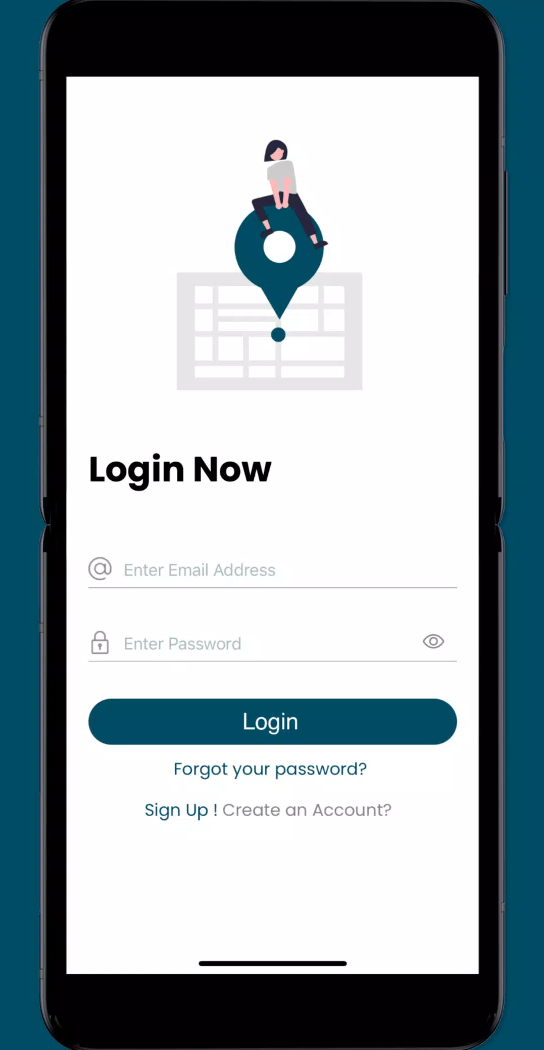
Join the fight against sea level rise by contributing valuable data! The Sea Level Rise app empowers citizens to map local flooding, providing crucial information for researchers and community leaders.
While sea level rise impacts coastal communities globally, our initiative began in Hampton Roads, Virginia, leveraging the contributions of thousands of volunteers during annual "Catch the King Tide" events. Developed by Wetlands Watch, this app fosters a more informed and connected community, enabling proactive responses to rising sea levels.
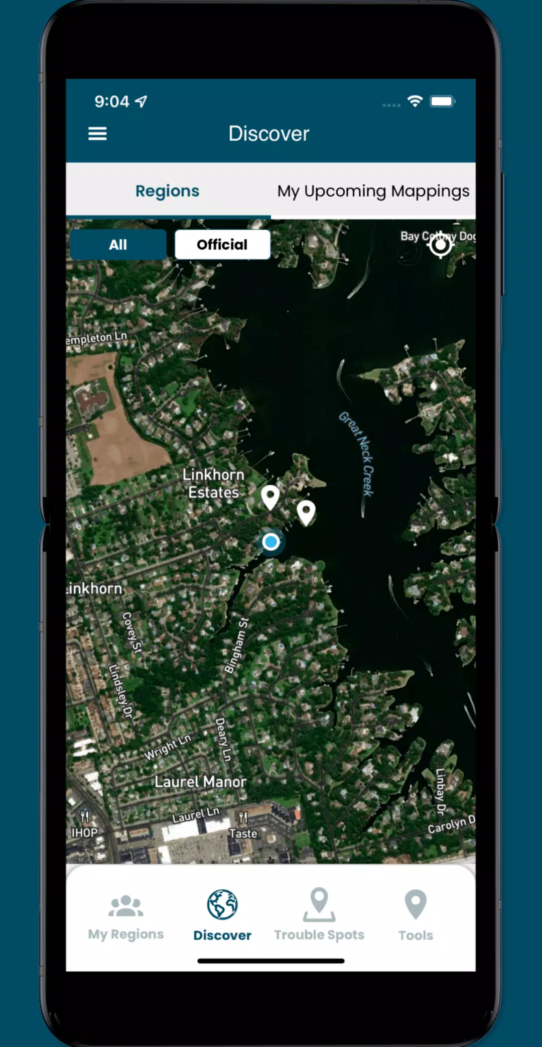
Access user-reported data on this critical global issue and become a volunteer mapper! Contribute street-level observations to improve our understanding and address the challenges posed by rising seas. The app lets you:
- Contribute localized data vital to researchers and community leaders.
- Identify and report "Trouble" spots where high water disrupts travel during severe weather.
- Capture and share photos documenting local flooding impacts.
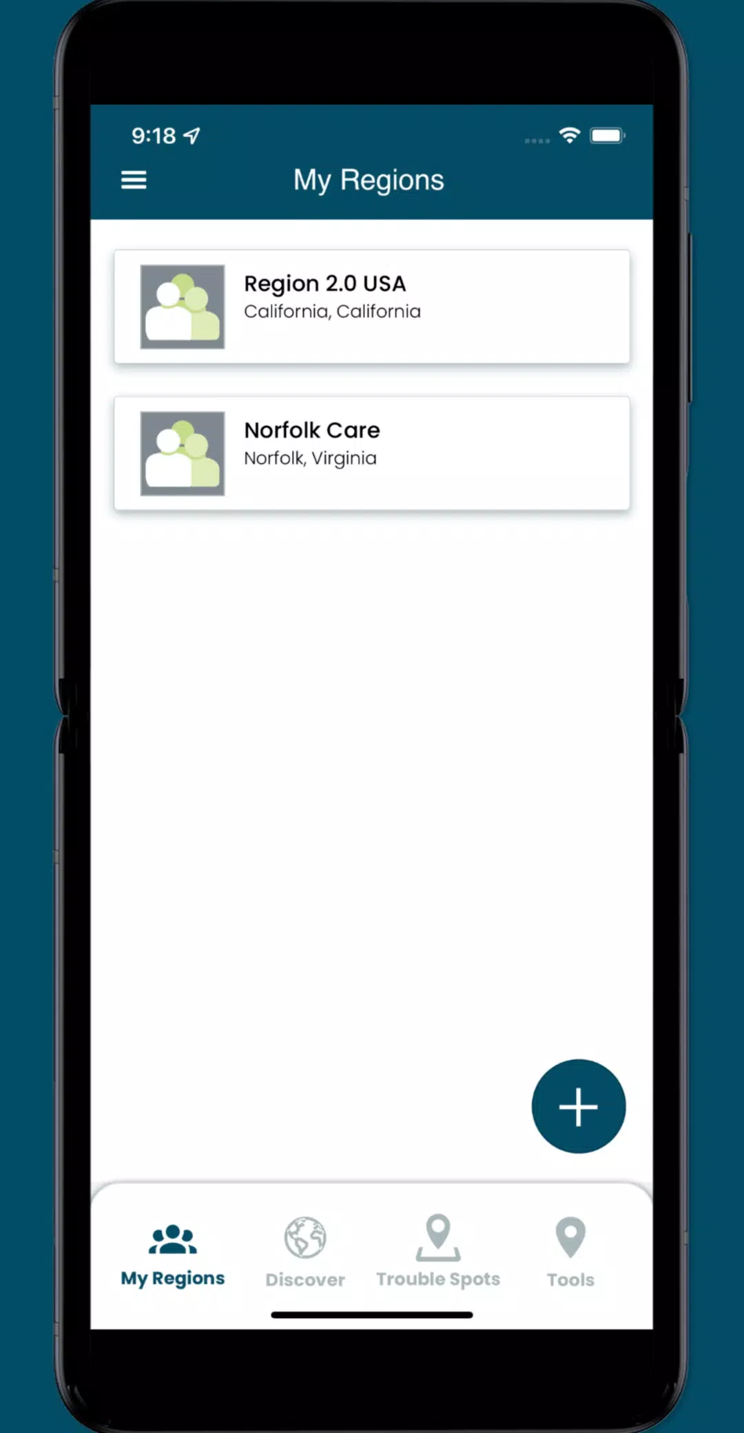
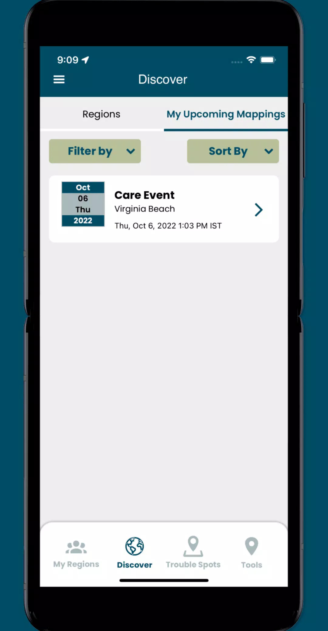
- Access and manage regional collaboration spaces for organizing volunteer mapping events.
What's New in Version 3.0.9
Last updated October 19, 2024
This update includes minor UI improvements and bug fixes.