The HEMAV app is your ultimate tool for monitoring your fields directly from your mobile device. This powerful app leverages the capabilities of HEMAV LAYERS, which combines Artificial Intelligence with advanced drone and satellite technology to deliver detailed agronomic reports and recommendations tailored for precision agriculture.
With the HEMAV app, you can:
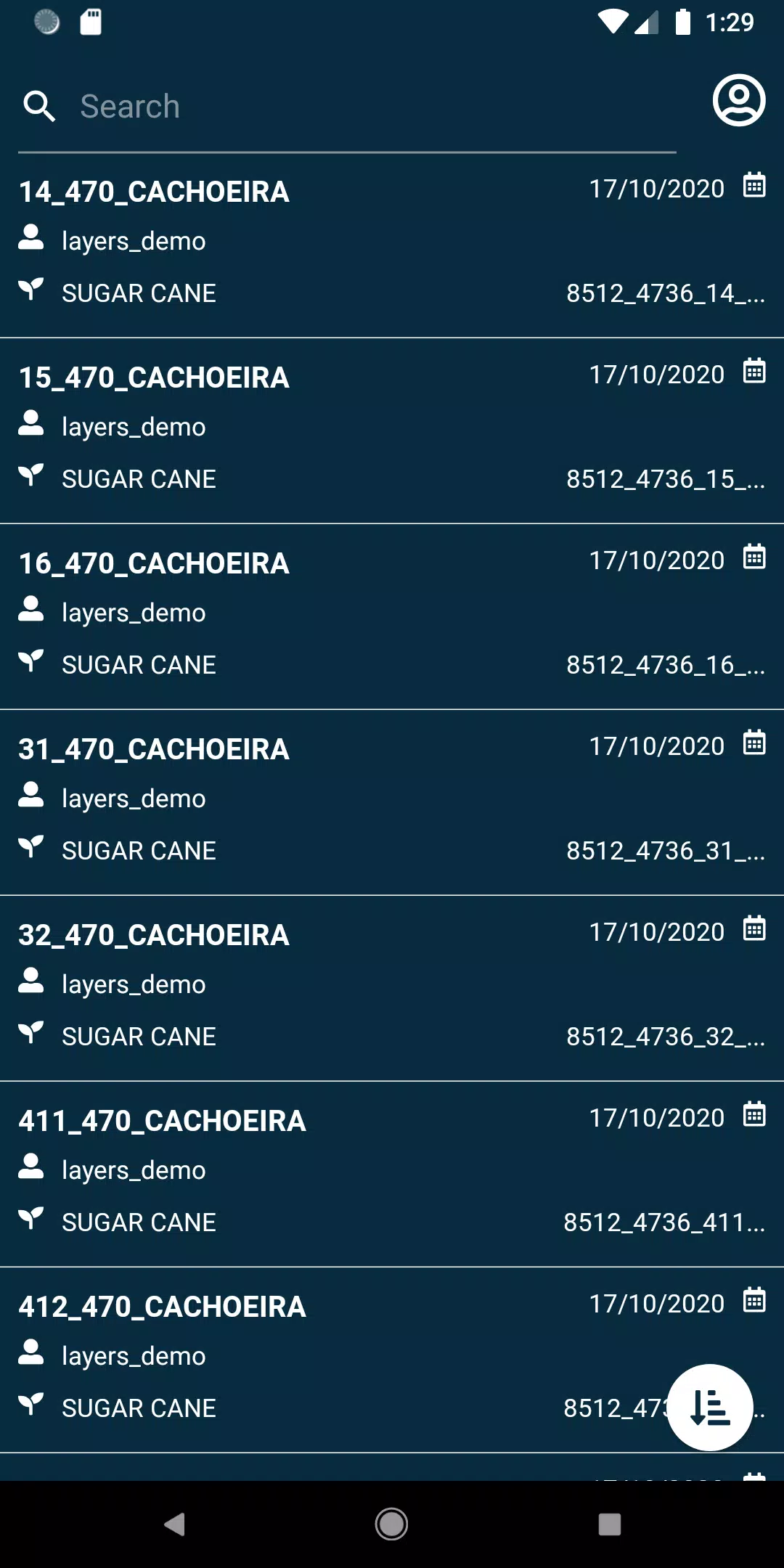
- View your fields with ease.
- Search through your fields using a variety of filters to find exactly what you need.
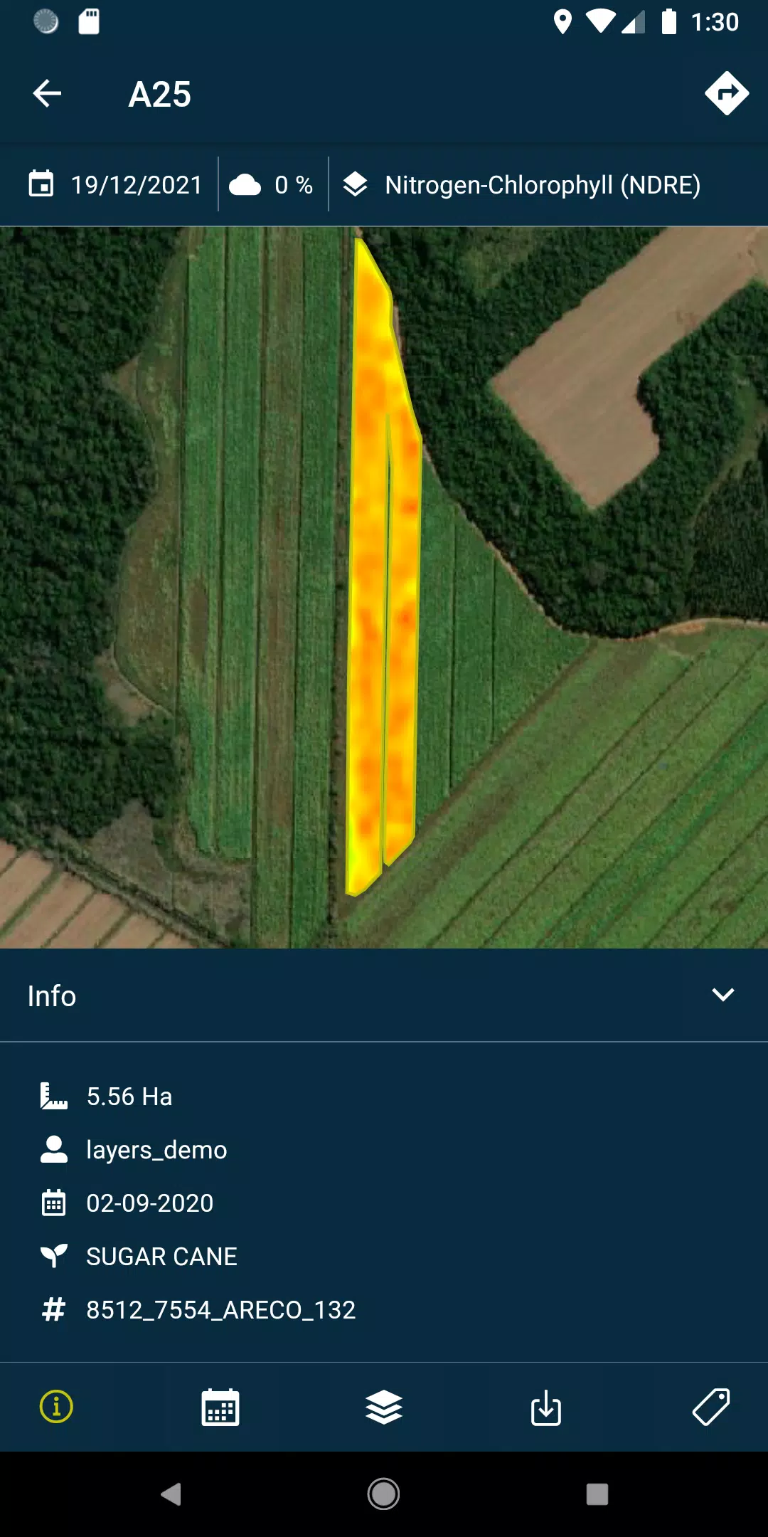
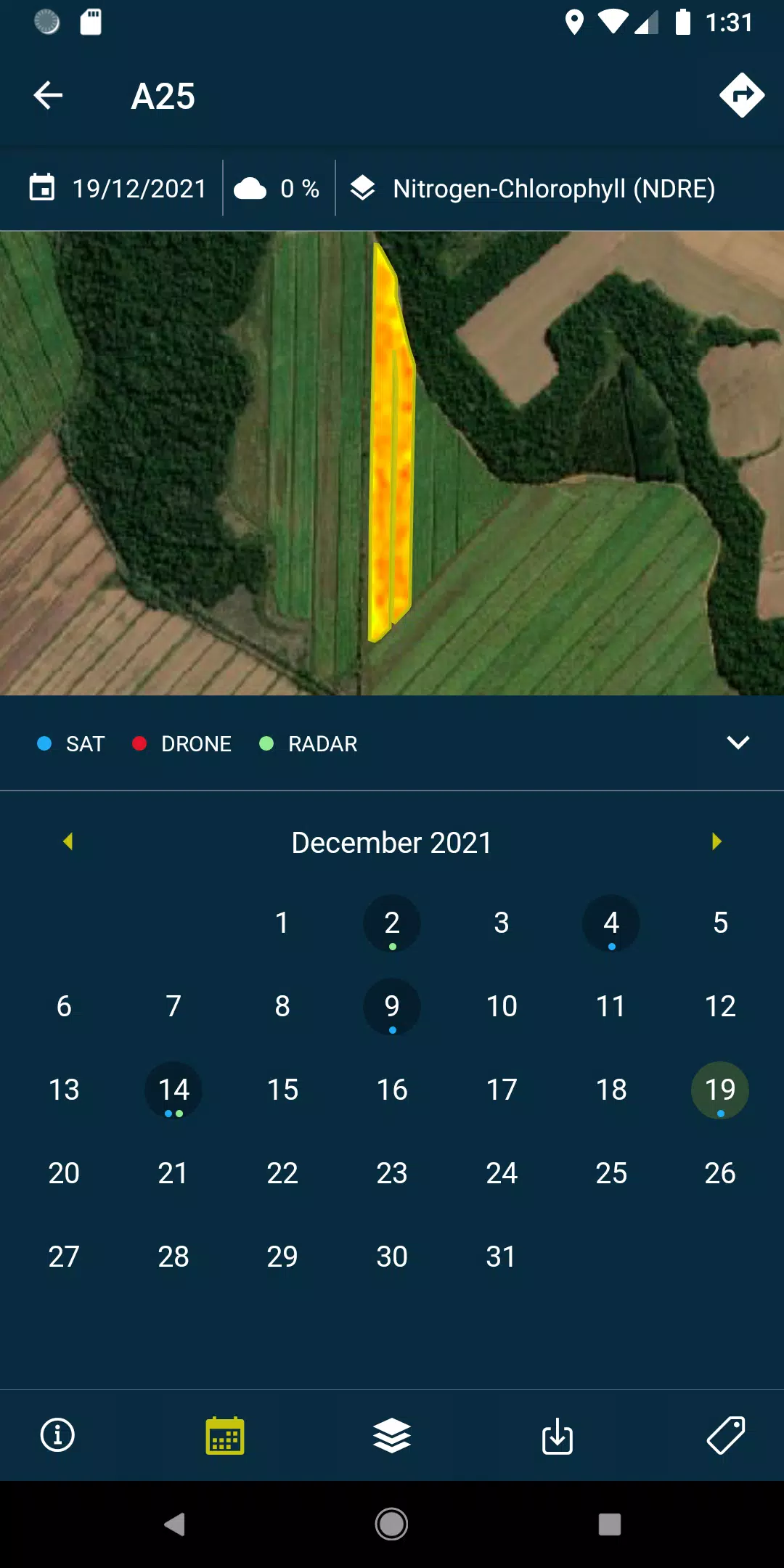
- Access layers, including reports and recommendations, and view PDFs generated from each field flight or satellite pass, whether you're online or offline.
- Capture field photos and geolocate them, adding comments for comprehensive field management.
- Conduct field surveys and integrate them into the system for further analysis and processing.
Please note that access to these features requires a subscription to HEMAV's suite of products.
About HEMAV Precision Agriculture Service
HEMAV's LAYERS software utilizes cutting-edge artificial intelligence to provide the agricultural sector with precise agronomic recommendations. These insights help optimize treatment strategies and generate accurate crop production estimates, both in terms of quantity and quality, enhancing overall farm efficiency.
What's New in Version 2.8.5
Last updated on October 19, 2024, this version includes:
- Bug fixes to enhance the reliability of pending sample uploads.
- Improvements in cloud coverage filtering for more accurate data analysis.