The RIWA Karten App: A Mobile GIS Solution for Field Workers
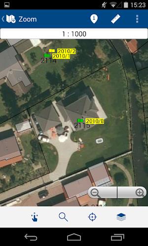
The RIWA Karten mobile application is designed for RIWAGIS-Zentrum users, particularly those working in the field. It provides access to personal geobases and geospatial data, complete with object information, all displayed on a user-friendly mobile map. This eliminates the need for paper-based plans.
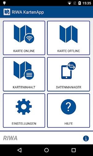
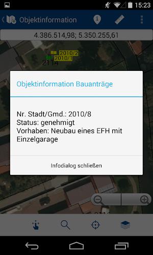
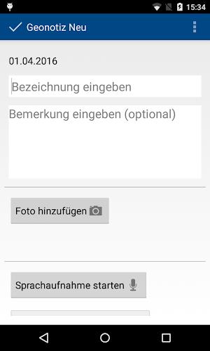
Key features include creating custom geonotes and survey data directly within the app. It seamlessly operates online and offline, synchronizing data with the RIWAGIS server when a connection is available. Functionality extends to measurement tools, robust search capabilities, detailed object information display, customizable map layers, and GPS location tracking. For more information or a demo, contact RIWA GmbH.
App Features:
- Modular Design: Built upon the modular structure of the RIWA GIS center, ensuring stability and scalability.
- Mobile Mapping: Access personal geobase and geospatial data (including objects like trees, canals, pipes, and playgrounds) on a mobile map.
- Enhanced Functionality: Create and manage geonotes and survey data directly in the field, eliminating paper maps.
- Online/Offline Capability: Works online and offline, with automatic data synchronization when an internet connection is established.
- Advanced Search: Offers multiple search options (e.g., by land number or address) for efficient data retrieval.
- Intuitive Interface: Designed for ease of use across a wide range of devices and screen resolutions.
In summary, the RIWA Karten App provides a powerful and user-friendly solution for field service professionals. Its combination of mobile mapping, data management tools, and offline functionality streamlines workflows and improves efficiency. Contact the RIWA GmbH Marketing/Vertrieb team for details or to request a demo.

