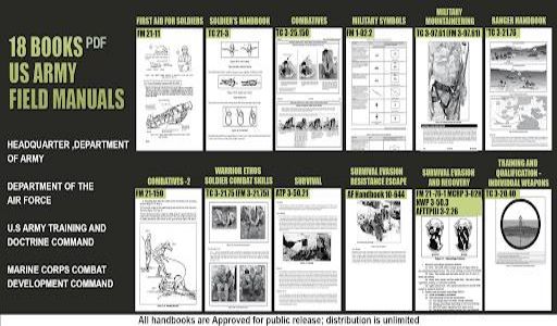
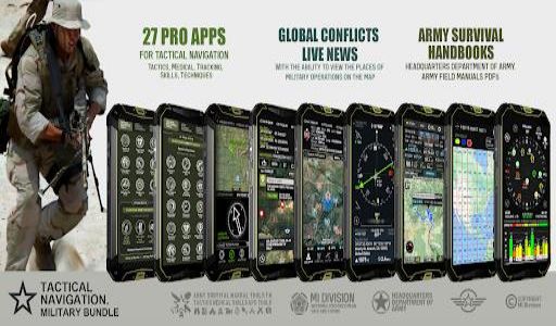
This ultimate tactical and outdoor navigation app, the Military GPS Survival Kit Bundle, equips users with 27 professional tools. Plan routes, track your position, and stay informed on global events with this comprehensive suite of applications. Access a library of military manuals and PDFs directly within the app. Features range from geotagging photos to precise area measurements.
Key Features of the Military GPS Survival Kit:
Geotag Photos: Capture images enhanced with GPS coordinates, compass direction, altitude, and more. Add notes and project names for detailed records.
Altitude and Distance Tracking: Accurately monitor your altitude and distance using imperial or metric units. Calibrate altitude for precise measurements.
GPS Location Management: Easily obtain, store, and share map coordinates. Search using addresses or building names, accessing six different coordinate formats.
Advanced Compass: Access real-time magnetic field orientation, displaying location, altitude, speed, magnetic field strength, and weather data.
Waypoint Navigation: Create and navigate to multiple GPS waypoints, even offline. An arrow indicates the direction to your destination.
Satellite Status Monitor: Assess location data quality with detailed satellite reports, including coordinates, satellite count, and signal strength.
Verdict:
The Military GPS Survival Kit Bundle is indispensable for tactical professionals and outdoor adventurers. Its robust features—including geotagging, altimetry, compass, waypoint navigation, and satellite monitoring—ensure accurate positioning, efficient route planning, and up-to-date global awareness. Download now to experience the power of precise tactical navigation!


