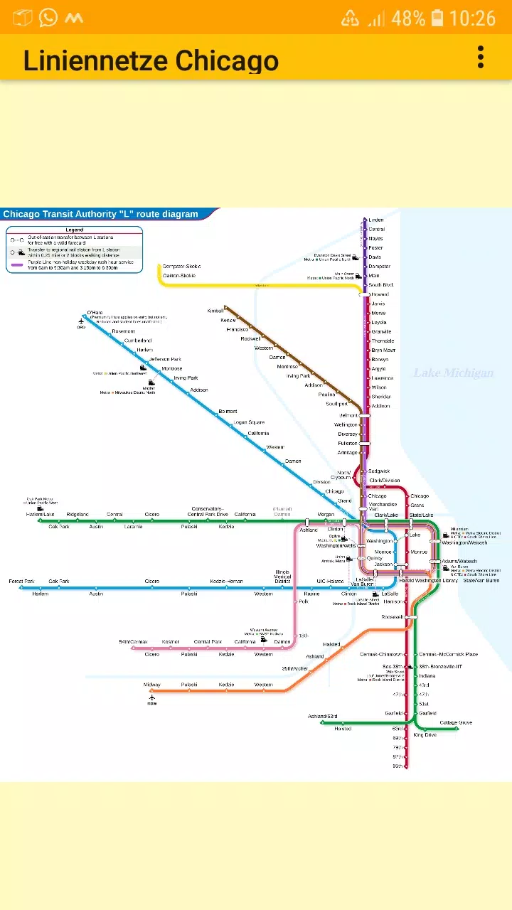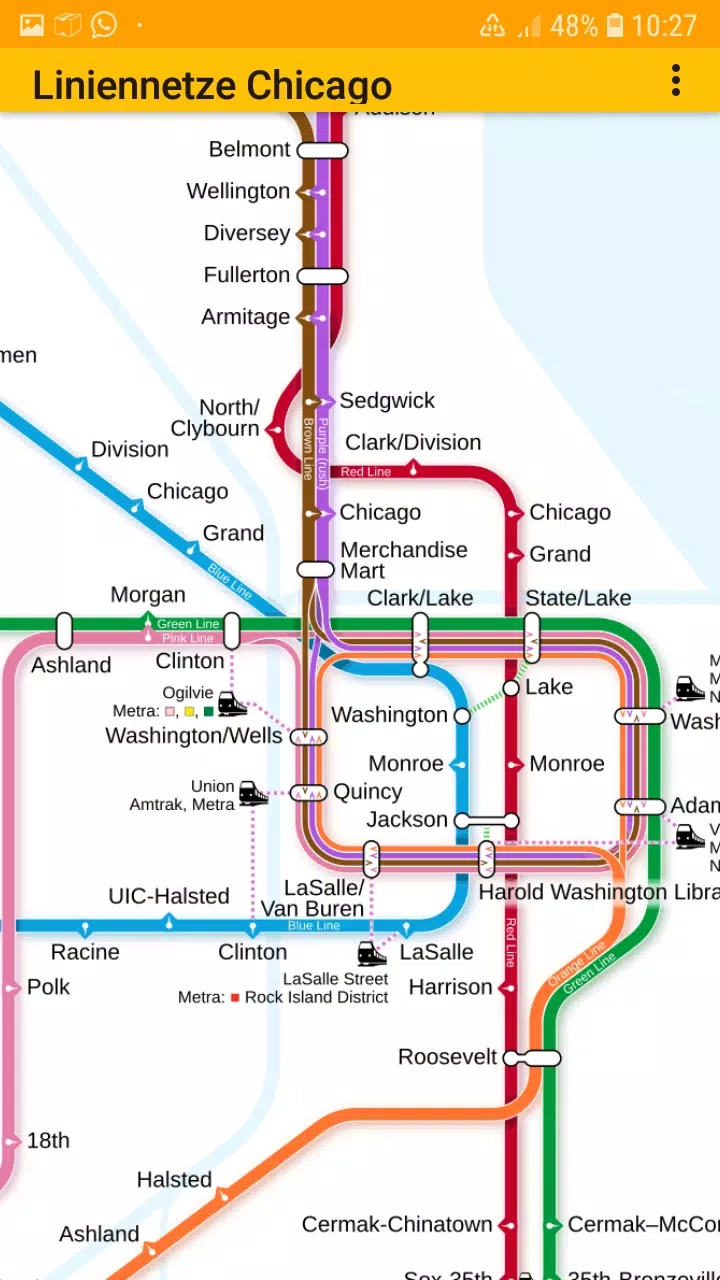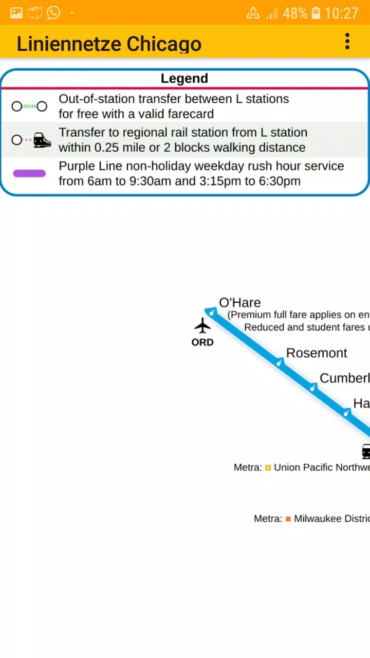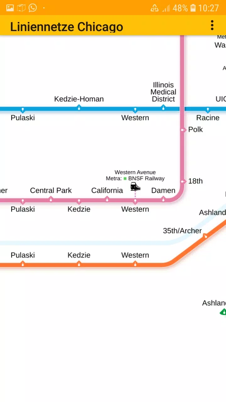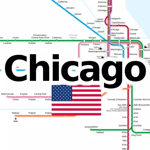
Discover all the essential subway and railroad maps of Chicago consolidated into one convenient application. This app offers offline access to the following line networks without any additional downloads:
- Chicago elevated "L" rapid transit system
Stay connected with us on Facebook and visit our homepage for more information. This easy-to-use, zoomable line network app is perfect for both Chicagoans and tourists, providing simple maps for offline scrolling, zooming in and out. The app features multiple tabs displaying various types of transit maps.
The metro line network, also referred to as the underground, rail transit map, urban tube map, or public subway, is readily available at your fingertips. We welcome your suggestions for improvement, ideas, wishes, or feedback. Feel free to reach out via e-mail or the contact form on our contact page.
Notices:
- Compatible with phones and tablets running Android 4.4 (KitKat, API 19) through Android 13.0 (API 33).
- The accuracy and completeness of the app's content are not guaranteed.
- The maps embedded in this app are subject to the Creative Commons license (CC BY-SA 4.0) and were created by Chinese Wikipedia user Sameboat (copyright holder).
Enjoy exploring the Google Play Store with dieEinsteiger.
What's New in the Latest Version 1.3
Last updated on Oct 20, 2024
v1.3 (06-08-2024)
- Update to Android API 35