Effortlessly plan your route with Just Draw It! - Route planner. Simply trace your desired path on the map with your finger to instantly see the total distance. Perfect for runners, walkers, cyclists, and more, this app eliminates the guesswork from route planning. Save favorite routes, import and export GPX files, and even view detailed elevation profiles. Features like snap-to-road and place search make route creation incredibly intuitive. Leave the frustration of getting lost behind and embrace confident exploration with Just Draw It! - Route planner.
Features of Just Draw It! - Route planner:
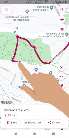
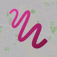
- Intuitive Finger Drawing: Plan your route effortlessly by tracing your finger across the map.
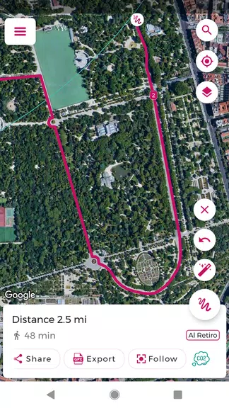
- GPX File Management: Import and export GPX files for easy route editing and sharing.
- Precise Distance Calculation: Get accurate distance measurements for your planned route.
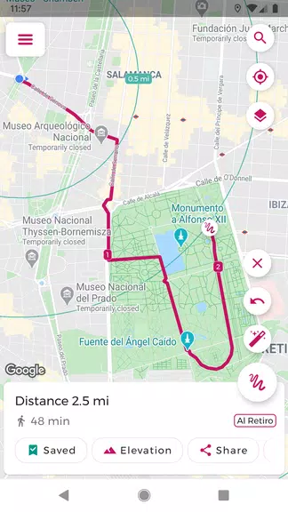
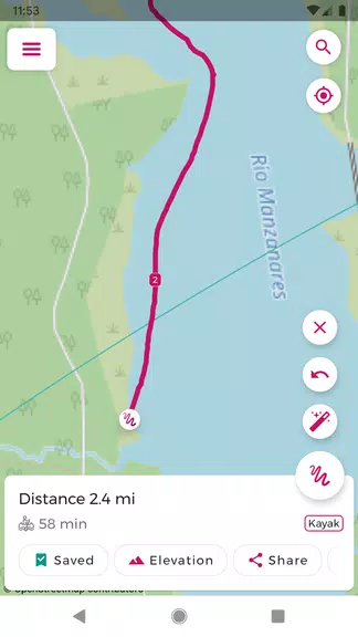
- Favorite Route Saving: Save your favorite routes for quick and easy access later.
- Snap-to-Road Functionality: Automatically align your route with existing roads and paths for accurate planning.
- Elevation Profile View: Visualize elevation changes along your route to prepare for inclines and declines.
Tips for Users:
- Pre-Trip Planning: Use Just Draw It! to plan your route and calculate distance before heading out.
- Efficient GPX Editing: Save time by importing and modifying existing GPX files.
- Shared Adventures: Share your routes with friends to explore new places together.
- Effortless Place Search: Utilize the place search feature to easily begin your route from any desired location.
- Elevation Awareness: Check the elevation profile to anticipate and prepare for challenging terrain.
Conclusion:
Just Draw It! - Route planner is the ideal app for all your outdoor adventures, from leisurely walks and runs to challenging cycling and boating trips. Its user-friendly interface and precise distance calculations make route planning simpler than ever. Download now and start exploring with confidence!