Are you ready? JaxReady, provided by the Emergency Preparedness Division and Information Technologies Division of the City of Jacksonville, Florida, is your go-to resource for preparing for natural disasters. This comprehensive tool helps you stay informed about weather threats and plan your evacuation effectively.
Key Features of JaxReady:
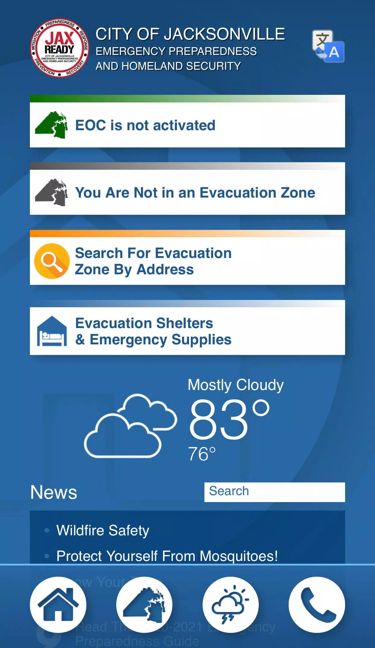
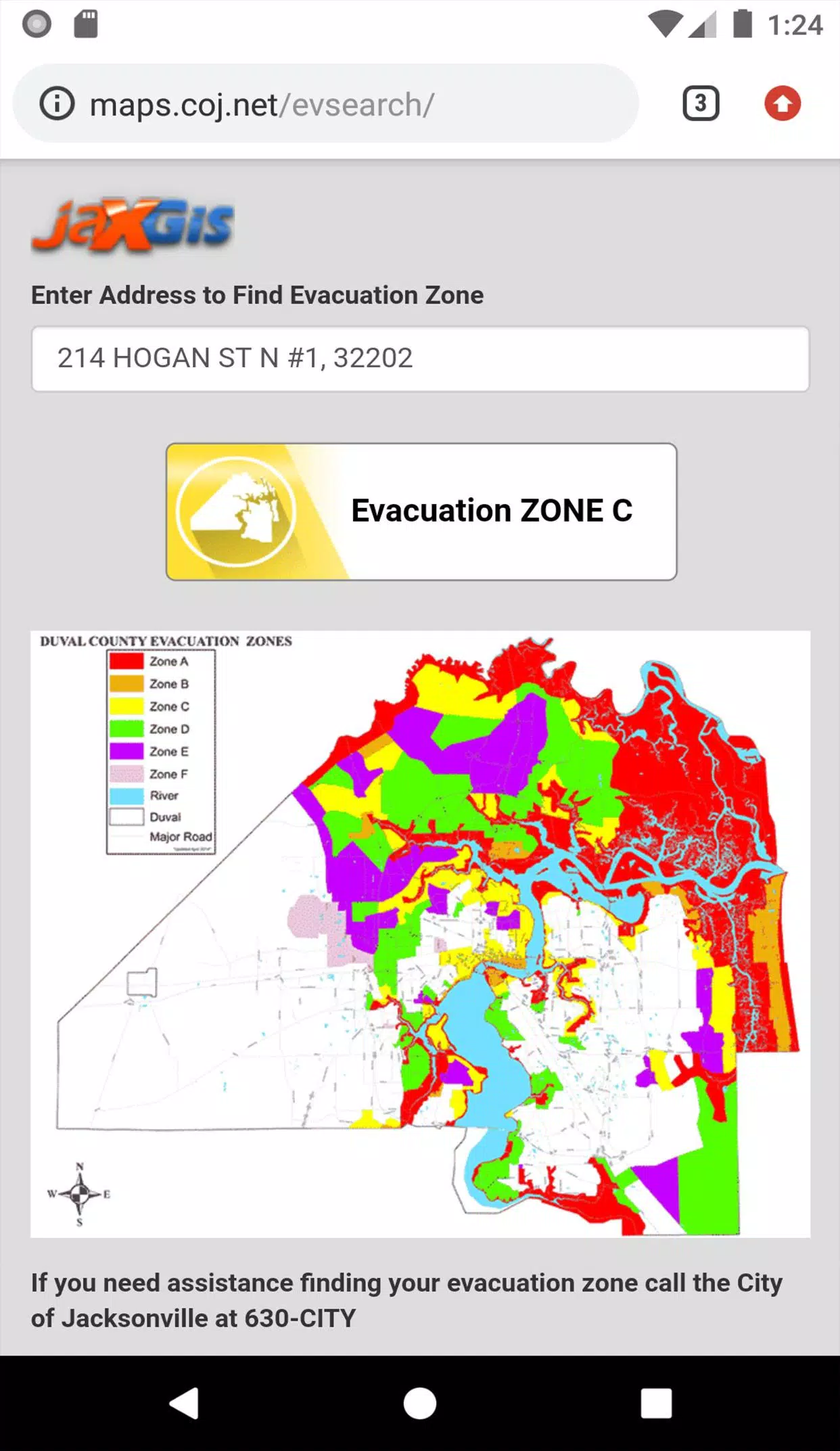
GPS Functionality: Easily locate your designated Evacuation Zone, ensuring you know exactly where to go during an emergency.
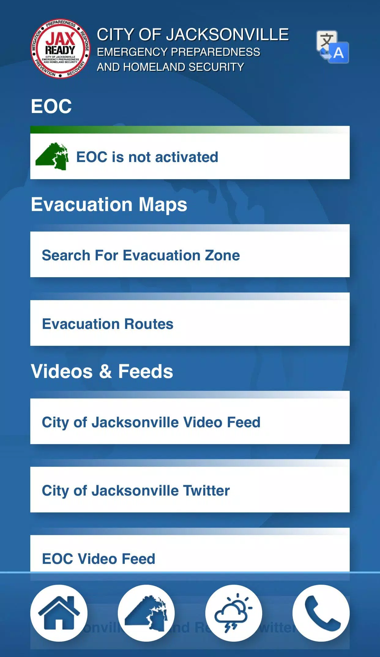
Real-Time Alerts: Access the current Emergency Operations Center (EOC) Activation Level, Weather Threat Level, and Fire Danger Index, all tailored to your specific location.
Special Needs Support: Find links to register for special needs services, crucial for those requiring medical assistance during an evacuation.
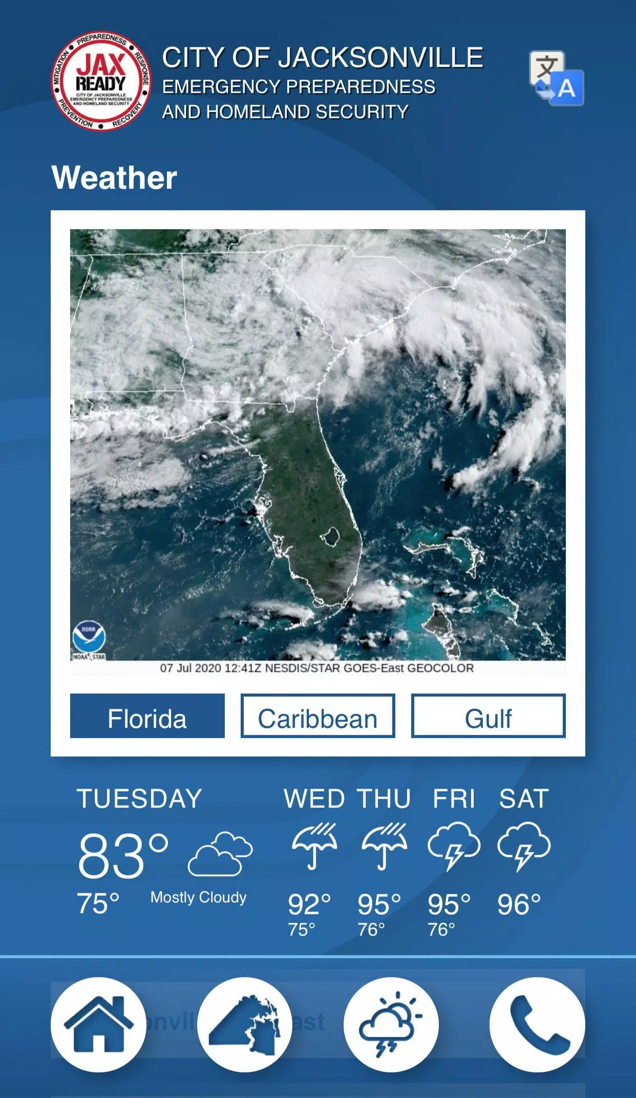
Up-to-Date Information: Stay informed with the latest weather and fire news, including detailed maps on weather conditions, wildfires, and drought indices.
With JaxReady, you can monitor threat levels, receive weather reports, and get wildfire updates, all complemented by up-to-the-minute news feeds on emergency preparedness and evacuation strategies. Be proactive and stay safe with JaxReady.