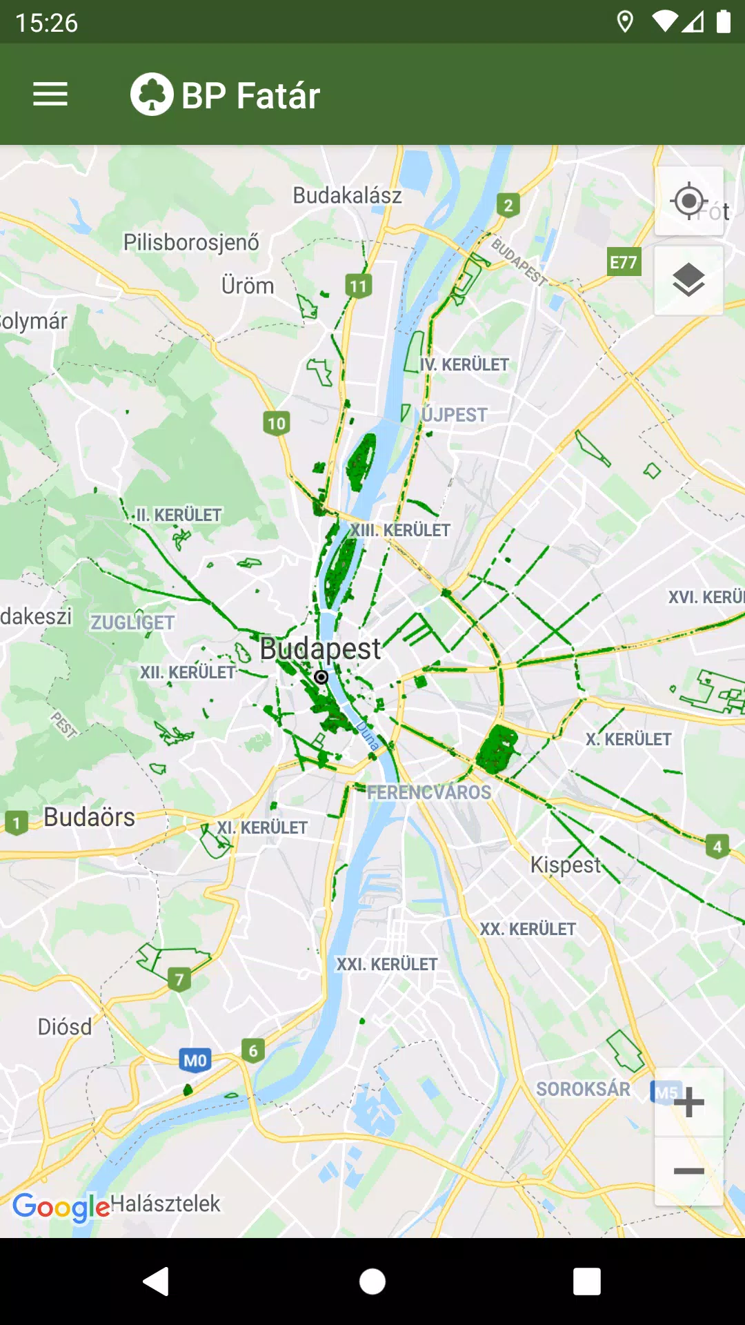
The official tree and park cadastral application of the MAIN GARDEN is the BP Fatár application, which allows you to access the public tree and park cadastre of FőKERT. In addition to FőKERT, the BP Fatár application also provides access to the tree and park cadastres of various district municipalities, including:
- I. district municipality
- VI. district municipality
- X. district municipality
- XI. district municipality
- XIII district municipality
- XIV. district municipality
- XVIII district municipality
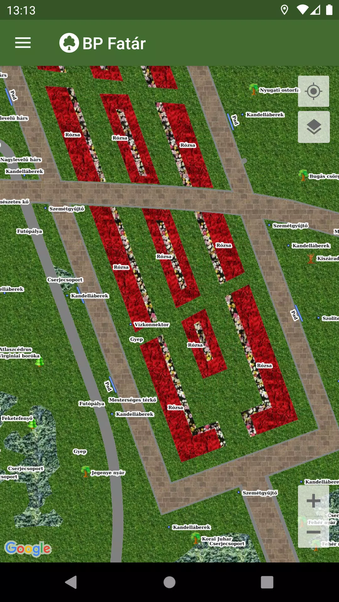
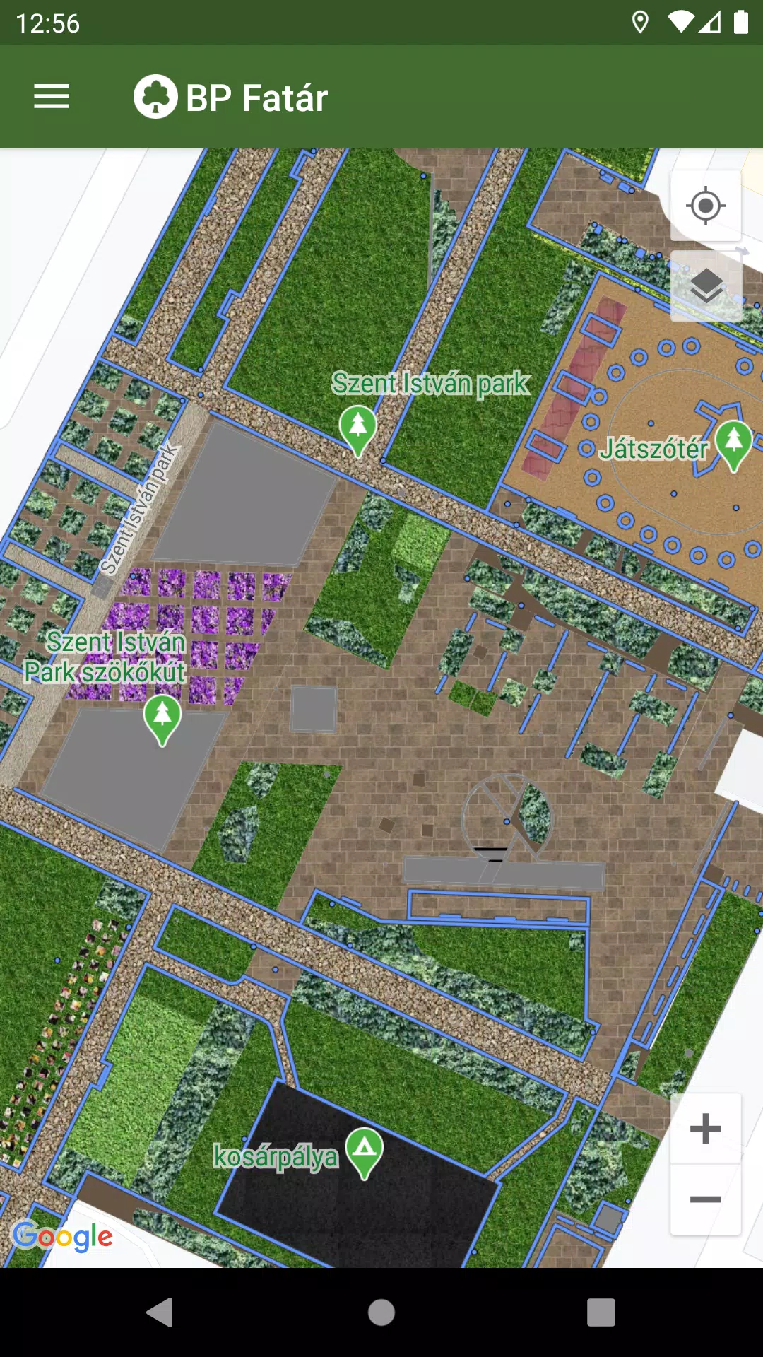
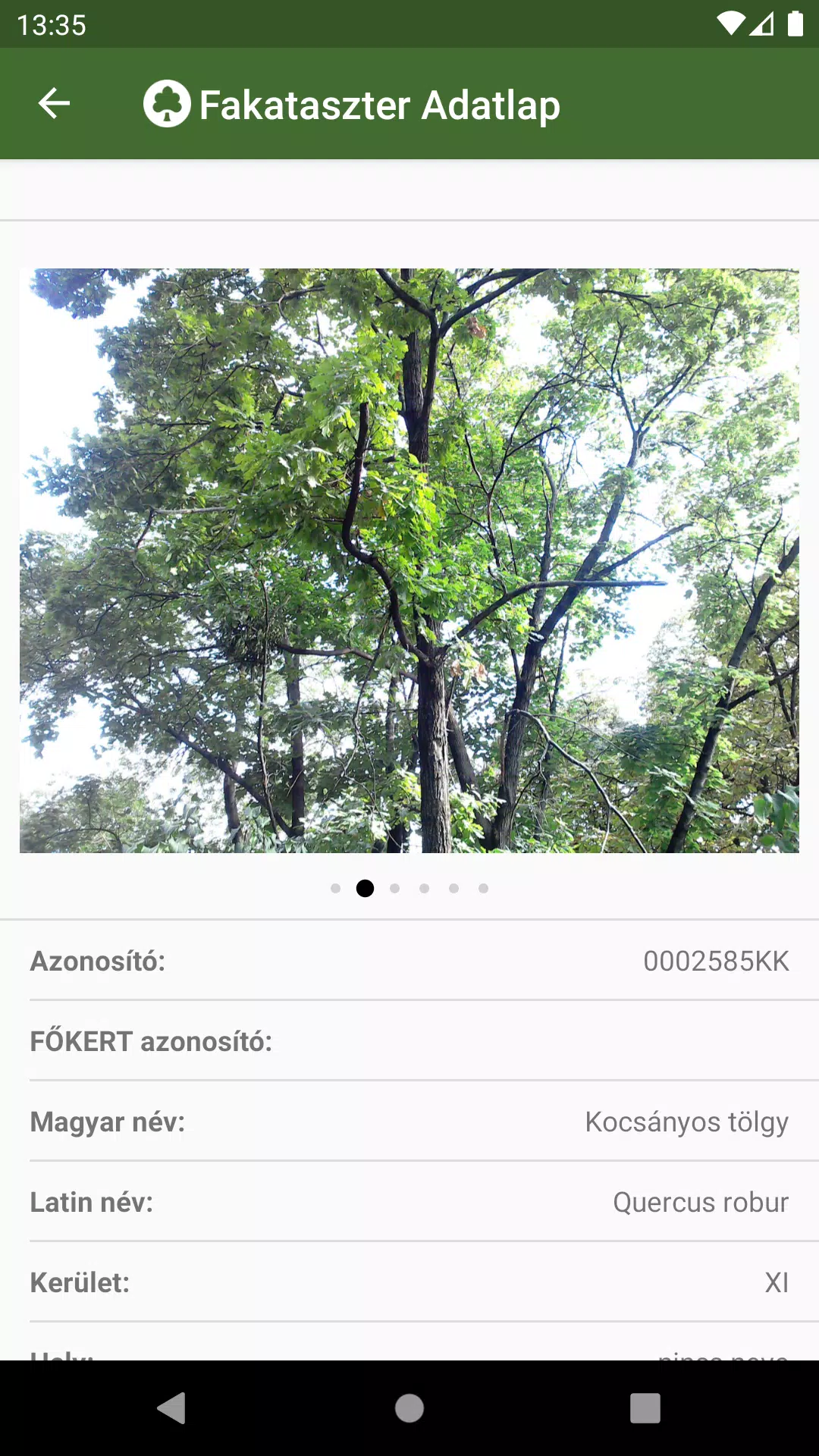
To explore these cadastres, simply navigate on the map to your area of interest. Click on the points, lines, or surfaces that represent cadastral elements to access detailed data sheets. These sheets provide comprehensive information about the selected elements and include relevant photos.
The BP Fatár application features a robust search engine to facilitate your navigation:
- Search for tree species using the tree scanner, which supports both Hungarian and Latin names.
- Search through categories organized into groups within the park cadastre.
Both search options will display the locations of all matching cadastral elements on the map, making it easy to find what you're looking for.
If you encounter any issues, such as a damaged tree or bench, you can report these directly to the data manager's employees. Simply click the "Error report" button on the data sheet of the affected element to initiate the report.
What's New in the Latest Version 1.5.2
Last updated on Oct 20, 2024
Hibajavítások.